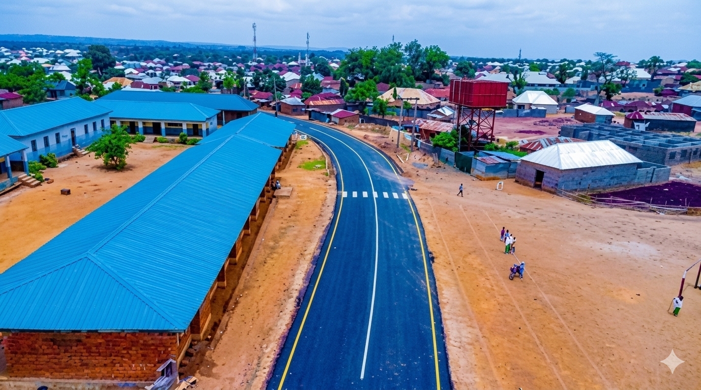
About Kagarko
Learn about the governance, culture, and agricultural strength of Kagarko Local Government Area.
General Information
Leadership
- Chairman: Hon. Muhuyideen Abdullahi Umar
- Vice Chairman: (Council Administration)
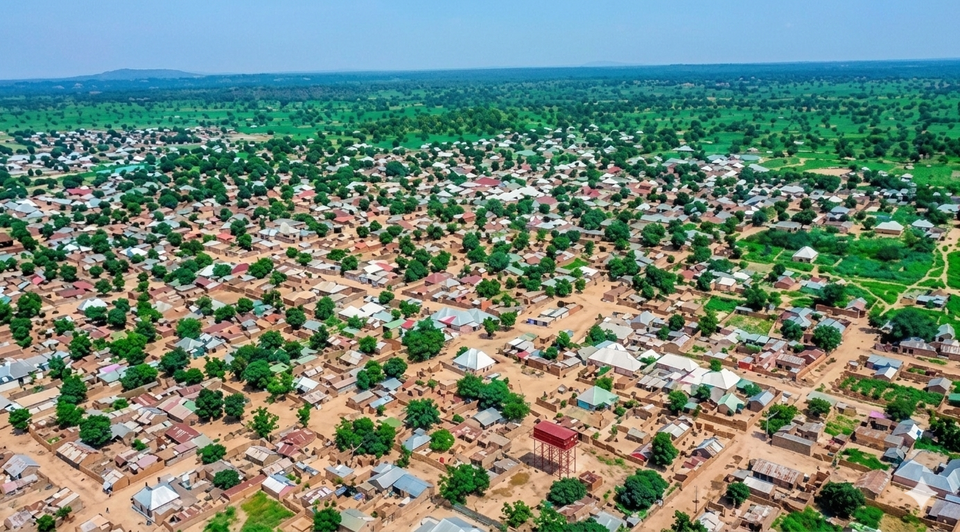
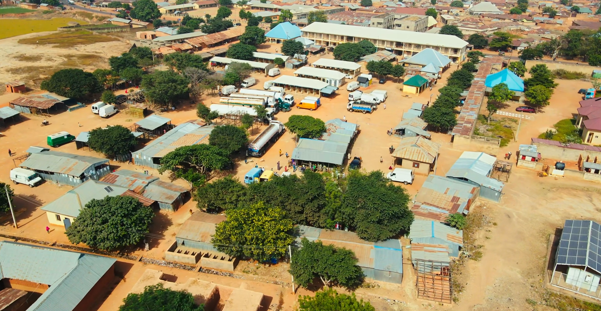
Location & Geography
- Location: Southern Kaduna State, Nigeria
- Headquarters: Kagarko Town
- Neighboring LGAs include Kachia, Jaba, and areas bordering the FCT.
Demographics
- Major ethnic groups include Koro, Gbagyi, Hausa, Fulani, and Adara.
- Languages spoken include Koro, Gbagyi, Hausa, Fulfulde, and English.
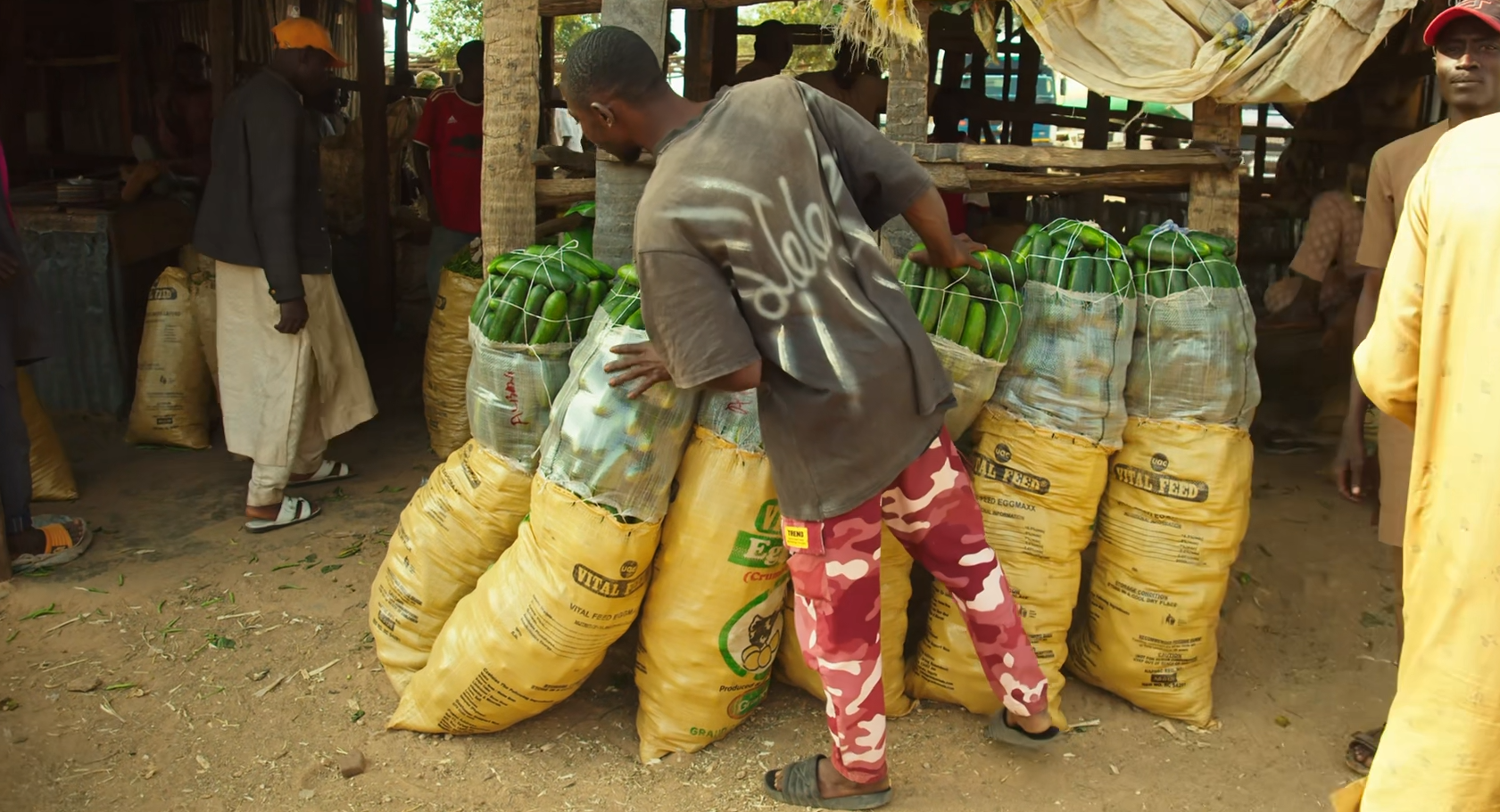
Economy & Climate
- Main economic activities include farming, livestock, and local trade.
- Kagarko is known for ginger, yam, turmeric, and grain production.
Geography & Economy
Location
Kagarko is strategically located between Kaduna and the Federal Capital Territory, making it an important agro-trade corridor.
Climate
The area experiences tropical wet and dry seasons favorable for crop cultivation.
Main Economic Activities
- Farming: Ginger, yam, turmeric, maize, and soybean cultivation.
- Livestock: Cattle and poultry rearing.
- Trading: Active produce and commodity markets.